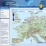
All events and news in the field of Land management, GIS and Remote Sensing. A contribution to sharing additional knowledge in this area with people working in private and public organizations.
Window On GMES - Special Issue 2012. Discover what GMES can do for European regions and cities; GMES activities; users case histories; an interview to four SMEs involved in the programme.
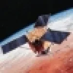
Un contributo importante del monitoraggio delle aree costiere può essere offerto dal satellite WorldView-2 grazie ad una delle sue inedite bande del multispettrale.
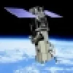
SAR Radar images are a fundmental source to support emergency response activities. They can be of great importance, for example, to detect flooded areas even in case of cloudy weather.