Provision of Earth Observation based Very High Resolution Reference Mapping products in support to FRONTEX.
In 2016, the European Union Satellite Center (SatCen) signed a Service Level Agreement with FRONTEX, the European Border and Coast Guard Agency, aiming at the enhancement of resources' strategic allocation and the expansion of geospatial awareness in EU external borders.
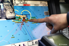
As part of the agreement, satellite services dedicated to border surveillance will be implemented based on the Copernicus programme data and services. Various services and products were defined; one of them is the Reference Mapping service that facilitates the assessment of specific Areas of Interest in support of EU decision-making.
Planetek Hellas and Planetek Italia have signed a framework contract with SatCen for the provision of Earth Observation based Very High Resolution Reference Mapping products in support to FRONTEX.
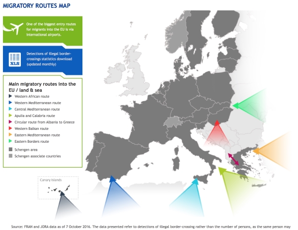
The information products provided is aimed at enhancing border surveillance, a current challenge for the European Union as regards migration and security. The Reference Mapping Service aims at providing a background of geographical context, including relevant information (High Resolution Vector Data) on hydrography, topography, land cover, infrastructure and population, and Situational Mapping products. The service supports the monitoring of border areas and the improvement of decision-making and response capabilities of the authorities responsible for controlling and monitoring European borders.
External links: