PLANETEK

PLANETEK

Home / By manufacturer / PLANETEK


Cognitive Framework for Urban Planning and monitoring of Strategic Environmental Assessment (SEA).


Digital Elevation Models derived from Satellite for orographic studies and for the design and management of works and infrastructures


The 
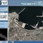
WebGIS solution for the management and consultation of large raster and vector datasets, ideal to distribute on-line catalogs of cartographic data.

Pages